
GPS Surveys
Instant and accurate measurements.
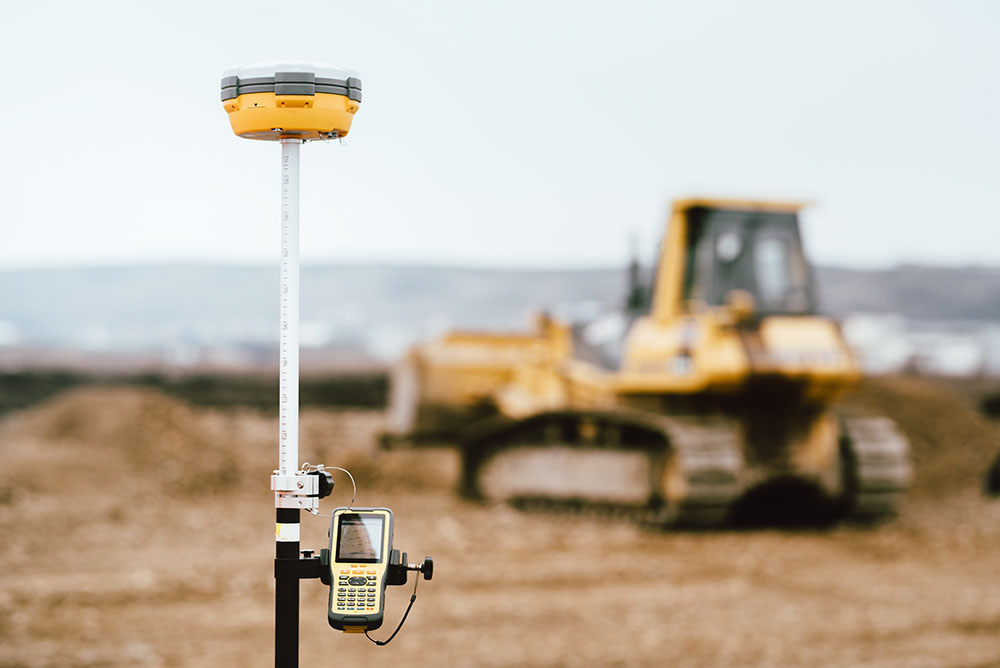
A GPS Survey is carried out using instruments that utilise Global Navigation Satellite System (GNSS). Global Positioning System (GPS) is one of these satellites systems, which is operated by the United States. There are other systems that is operated by other countries around the world. Using GNSS allows surveyors to take accurate measurements on the position of certain points in an instant.
GPS surveys also allows the survey to be tied into a national coordinate system called Map Grid Australia (MGA) as well as Australian Height Datum (AHD). The utility of these coordinate systems is far reaching, for example all sewer networks in Victoria are designed and built according to MGA and AHD.
At DJY Surveys we believe in both accuracy and efficiency to support your projects the best way we can. That’s why we use this advanced navigation technology to ensure we can provide you with the accurate data you need, as quickly as possible.
SERVICING ALL OF
MELBOURNE, GEELONG AND BEYOND
How do GPS surveys work?
GPS, like the technology in your mobile phone maps or car navigation system, uses satellite signals to pinpoint precise locations on Earth.
It works regardless of the weather conditions at the time and is incredibly accurate.
GPS provide accurate latitudinal and longitudinal location information without the need for measuring angles and distances between points.
Therefore, it’s a much faster method of gathering survey data.
The benefits of GPS Surveys
One of the main benefits of GPS surveys is clearly the speed in which measurements can be taken and collated.
However, it’s also important to note that GPS surveys hook into the coordinate and height systems where many services are coordinated to, such as the sewer system.
This means sewer pipes in the street have a coordinate and height in a database which we can access. Using the GPS and measuring the ground, we can determine how far down the sewer pipe is and approximately where it should be located.

Accurate Surveys – Even for Complex Sites & Builds
At DJY Surveys, we specialise in producing the most accurate GPS surveys possible. We utilise the latest GNSS/GPS technology and tools – to correctly survey any land, for any purpose.
Making sure it’s done right the first time – and saving you valuable time, hassle and expense.
SERVICING ALL OF
MELBOURNE, GEELONG AND BEYOND