AHD Surveys

Australian Height Datum Surveys for flood prone areas.
Australian Height Datum (AHD) is the national vertical reference datum for heights in Australia. An AHD survey seeks to measure the height of a property relative to this height datum. The height datum is particularly useful today since many public utility systems are designed and built relative to this datum.
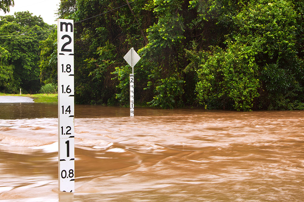
AHD surveys are often a planning requirement from council, particularly for sites that sit within flood prone areas. – as it can help to predict the probability of a site to flood, and to what level.
SERVICING ALL OF
MELBOURNE, GEELONG AND BEYOND
What is an AHD Survey?
The Australian Height Datum was determined by the National Mapping Council in 1971 by using the mean level of numerous tide gauges located around the country. Simply put, the ‘zero’ value was assigned to the mean level of the ocean level. Once the datum was adopted, AHD values were transferred to Permanent Survey marks all across Australia.
An AHD survey simply involves determining the relative height difference between the site and the Permanent Survey Marks nearby. Once the difference is determined, the AHD height can be transferred to the site.
The AHD Survey can be carried out using two different methods. If the site is relatively close to a permanent mark, the survey can be done simply using a level and a staff. The other method is utilising modern Global Navigation Satellite System (GNSS) technologies. Nowadays most surveyors including DJY Surveys opt for the latter method as it provides a precise solution with less errors at a fraction of the time.
How do AHD measurements guide construction?
If you’re planning to do any building it is always a good idea to carry out a quick check online to see which zones and planning overlay the site is subject to. This will advise if your site is subject to inundation. These sites will require an AHD survey to be done to ensure certain requirements are met for your building’s safety and longevity.
If a property is flood prone, a document can be obtained from Melbourne water which details the flood level value relative to AHD. This value is typically quoted as being the level of a ‘1 in 100’ year flood. Levels of the specific property can then be made and connected to the permanent markers with AHD values, to determine the specific AHD value of a site.
This is a particularly important survey as it allows you to see how much of the site – and whether the house floor level – is under or above the flood level. Newly built structures will need to be built with floor level above this ‘1 in 100’ year flood level.
Houses and other structures can either be constructed in such a way that it keeps water out, or, if that’s not feasible due to site conditions, to minimise damage should flooding occur. This might include using resilient materials for the foundations, flooring, and walls etc. that can resist water damage and give the house or building a chance to dry out following a flood event.
AHD levels are critical to ensuring a flood prone site is correctly and successfully developed.

How DJY Surveys can help with AHD surveys
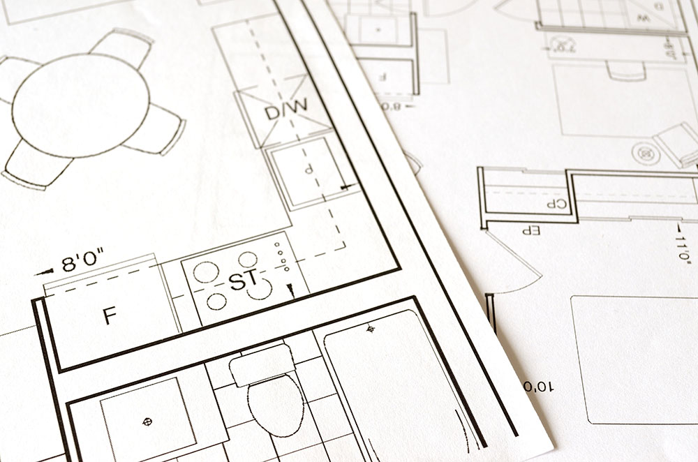
AHD surveys can only be performed by qualified land surveyors. DJY Surveys can provide a survey plan showing the required information that fulfils requirements requested from your local council or building surveyor.
DJY Surveys can also offer professional advice, fast quotes and an efficient process – giving you the information you need, to start developing in your flood-prone site.
SERVICING ALL OF
MELBOURNE, GEELONG AND BEYOND
